In summary:
- Where: Gatineau Park (30 minutes from Ottawa)
- Trail name: Wolf Trail
- Length and duration: 9.4km loop (3h30 total)
- Elevation: 330 meters
- Difficulty: Average
- Particularity: Lookout over the Ottawa River, finish with a swim in Meech Lake.
- Dogs allowed on a leash (summer only)
In details:
The Wolf Trail (aka Trail 62) is well known in Gatineau Park both for its natural beauty and its difficulty. Experienced hikers will have no problem on this loop, but novices are advised to wear shoes rather than sandals, bring water and snacks, and carry a map and compass along with the knowledge of how to use it. Cell phone coverage is non-existent along most of the trail. Starting at P13, the parking lot near the western end of Meech Lake Road, you’ll need cash or a credit card to cover your parking fee if you’re there before 7pm.
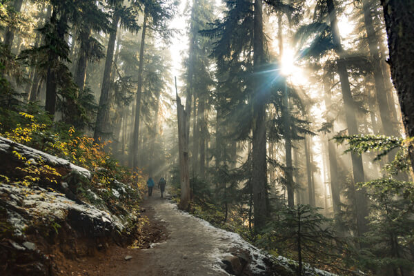
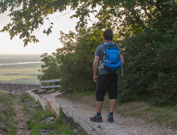
The trail heads uphill immediately, splitting less than a kilometre from the parking lot. My dog and I took the left fork, to complete the loop in clockwise fashion. The climbing continues, and we gained nearly 130m in the first 2 kms. There are creek crossings and small ponds along the route, and even hiking mid-day, we were able to stay mostly in the shade of big leafy trees. About a third of the way into the hike, we crossed Trail #1, which is part of the Trans Canada Trail, and runs more than 20km through the park. If you find you’re running out of time, you can use the #1 to shortcut to the return part of the Wolf Trail loop, saving a couple of km of hiking. We carried on to reach the first of two major lookouts along the trail. Known as the Tawadina Lookout, there’s a large open area of escarpment rock that gives a clear view to the south west, across the Ottawa river valley.
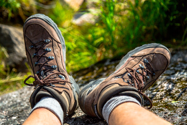
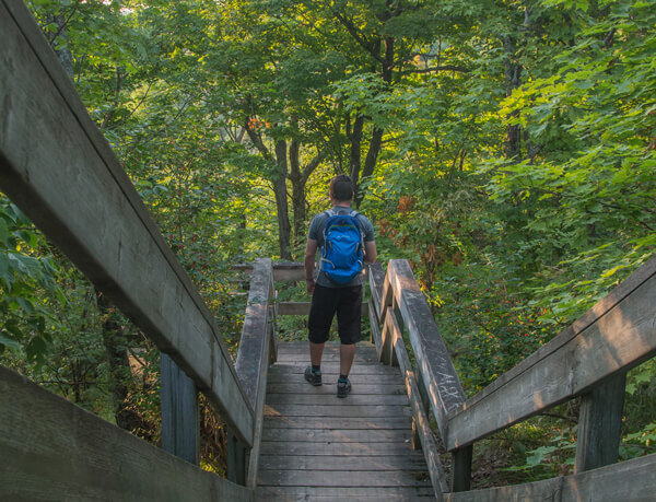
We were there on a hot day, and with no shelter from the sun, stopped for a short water break before heading back into the woods. After leaving the first lookout, the trail leads northwest, and climbs steeply, hitting grades as much as 20% over the next 2 kms, again crossing Trail #1 before running along a ridge line with a view to the south. On clear days, you get a long look across the rolling hills of Gatineau Park and can even see the CBC Radio tower to the east, that stands on top of the Camp Fortune ski hill. There’s a park bench at one of the lookouts, but be advised that depending on the time of day, there’s no coverage from the sun. Over the final 2 kms, the trail descends sharply. Footwear with good grip is vital here, as some sections are rocky and can get muddy in the rain.
Upon arriving at the parking lot, trade your boots for flip flops, and hiking shorts for swimsuit. Across the road is Blanchet Beach, one of the public beaches on Meech Lake, where you can hop in to cool off before driving home. The day Bryson (my dog) and I hiked the Wolf Trail, we started in the morning, but still hit temperatures over 35 degrees by mid-day. We stopped for photos and a lot of breaks to drink water, finishing the hike in three hours, 15 minutes. However, the terrain allowed a pace of about 4 km/h, so with a light load and few stops, we could have finished in under two and a half hours. Using Strava to track the hike provided a distance of 9.4 km, but the National Capital Commission lists the trail at 8.3 km in some places. As with any hike, it’s best to be prepared to be out longer than anticipated. Bryson and I went through a combined five litres of water, and I ate a few granola bars. I also carried a first aid kit, toilet paper and waste bags, a whistle, and multitool.
You can find more info about the Wolf Trail at: http://ncc-ccn.gc.ca/documents/wolf-trail and view an interactive map of the Gatineau Park here
Happy Hiking!


